
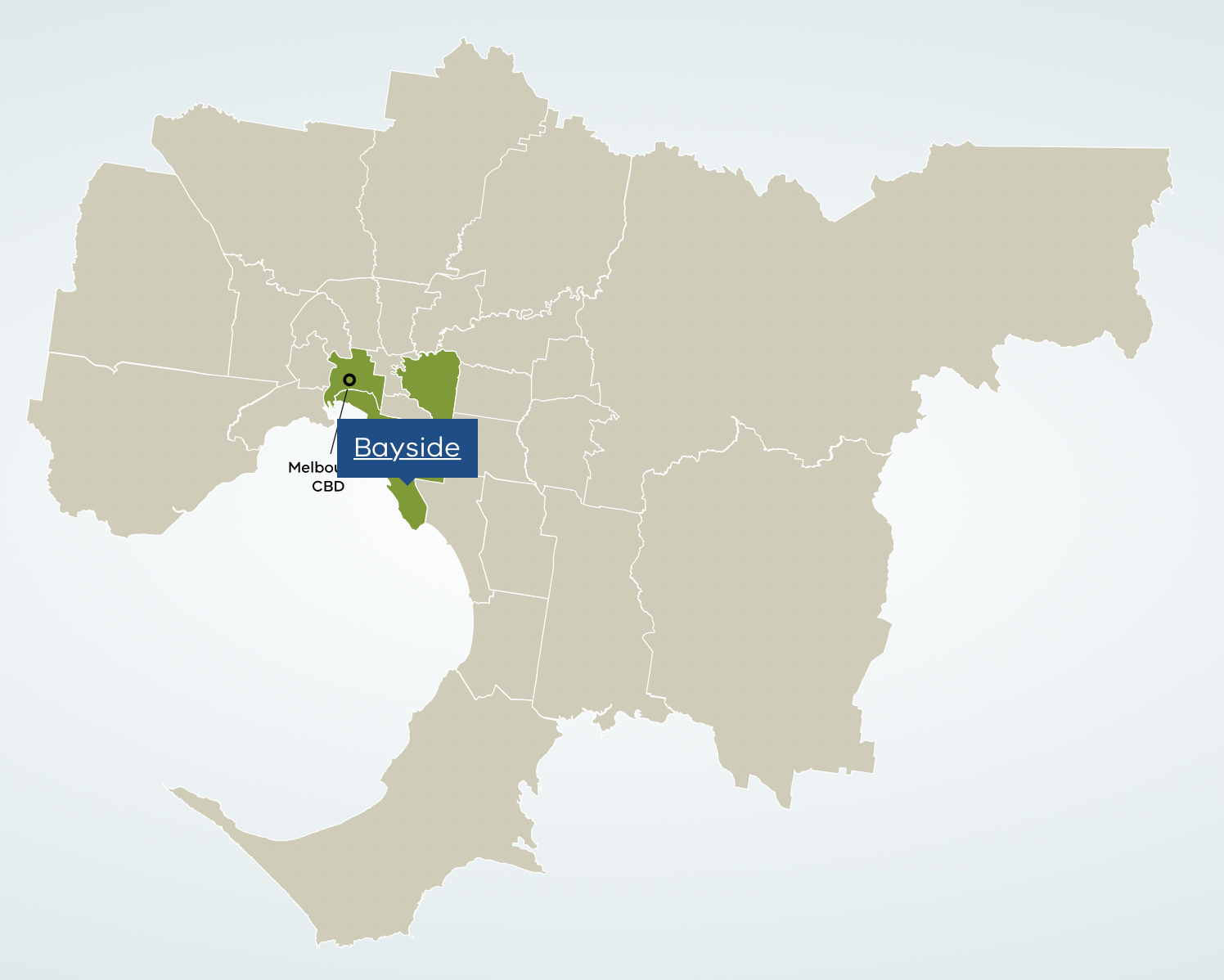
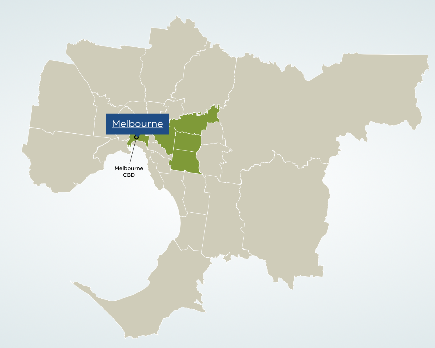
Metropolitan Melbourne, Victoria
When we talk about Melbourne as a city, we’re talking about metropolitan Melbourne. Also known as Greater Melbourne, metropolitan Melbourne is the geographical area that defines Melbourne as a city and the capital of the state of Victoria.
The city occupies much of the northern and eastern coastlines of Port Phillip Bay and spreads into the Mornington Perninsula and the hinterlands towards tje Yarra Valley and the Dandenong and Macedon Ranges.
Areas
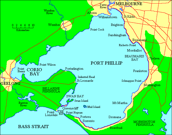
Port Phillip Bay
Port Phillip or Port Phillip Bay, is a horsehead-shaped enclosed bay on the central coast of southern Victoria, Australia.
Yarra Valley
The Yarra Valley is the region surrounding the Yarra River in Victoria, Australia.

Dandenong
The Dandenong Ranges (commonly just The Dandenongs) are a set of low mountain ranges, rising to 633 metres at Mount Dandenong, approximately 35 km (22 mi) east of Melbourne, Victoria, Australia.
Macedon Ranges
The Macedon Ranges is a region in Central Victoria, known for its expansive native forests, vibrant arts scene, thriving food and wine industries (including weekly farmers’ markets) and natural attractions such as Hanging Rock and Mount Macedon.
Population
Over 5 million(19% of the population of Australia, as per 2020), mostly residing to the east side of the city centre, and its inhabitants are commonly referred to as “Melburnians”.
Landmarks
- Melbourne Cricket Ground
- National Gallery of Victoria
- World Heritage-listed
- Royal Exhibition Building
Demographics
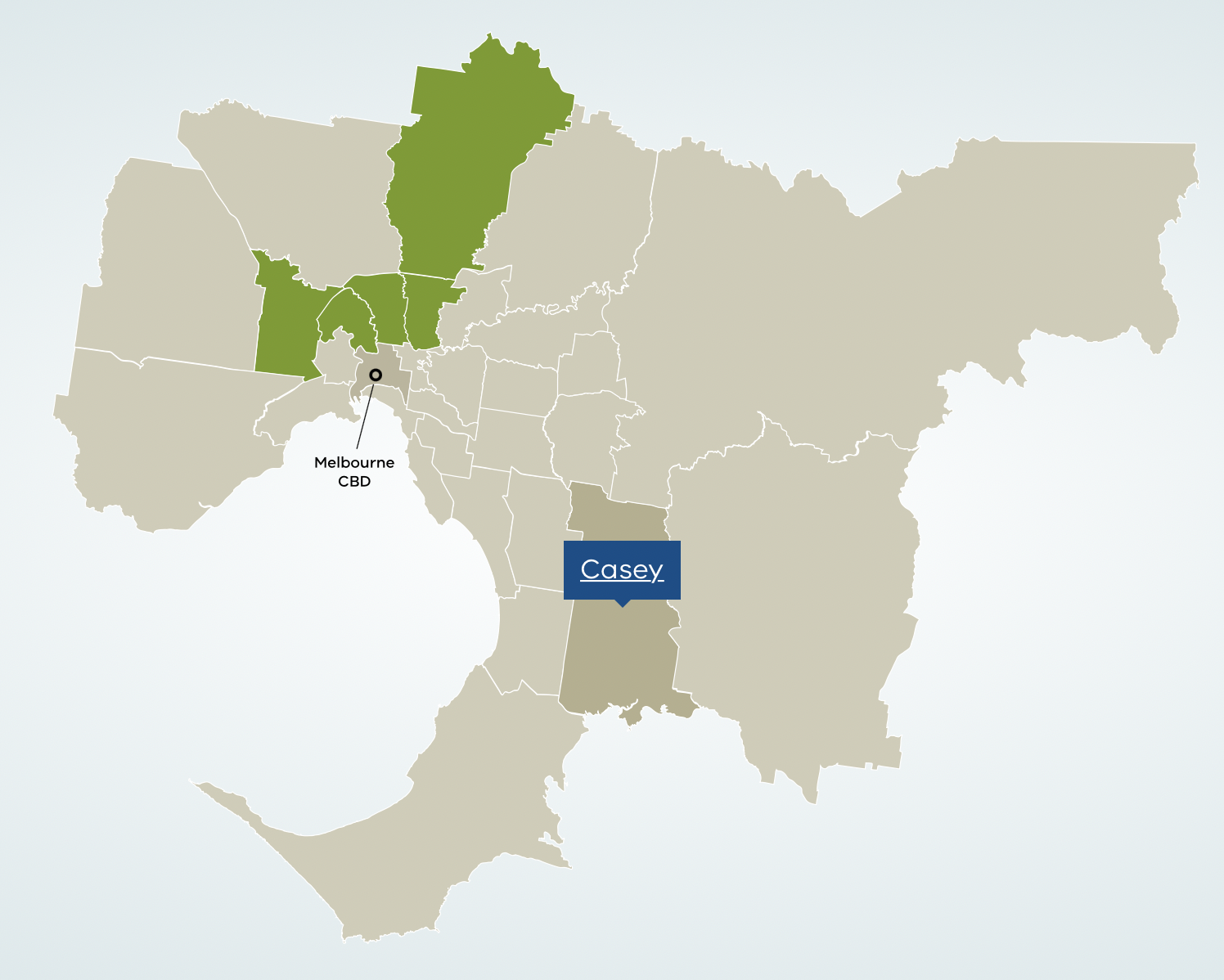
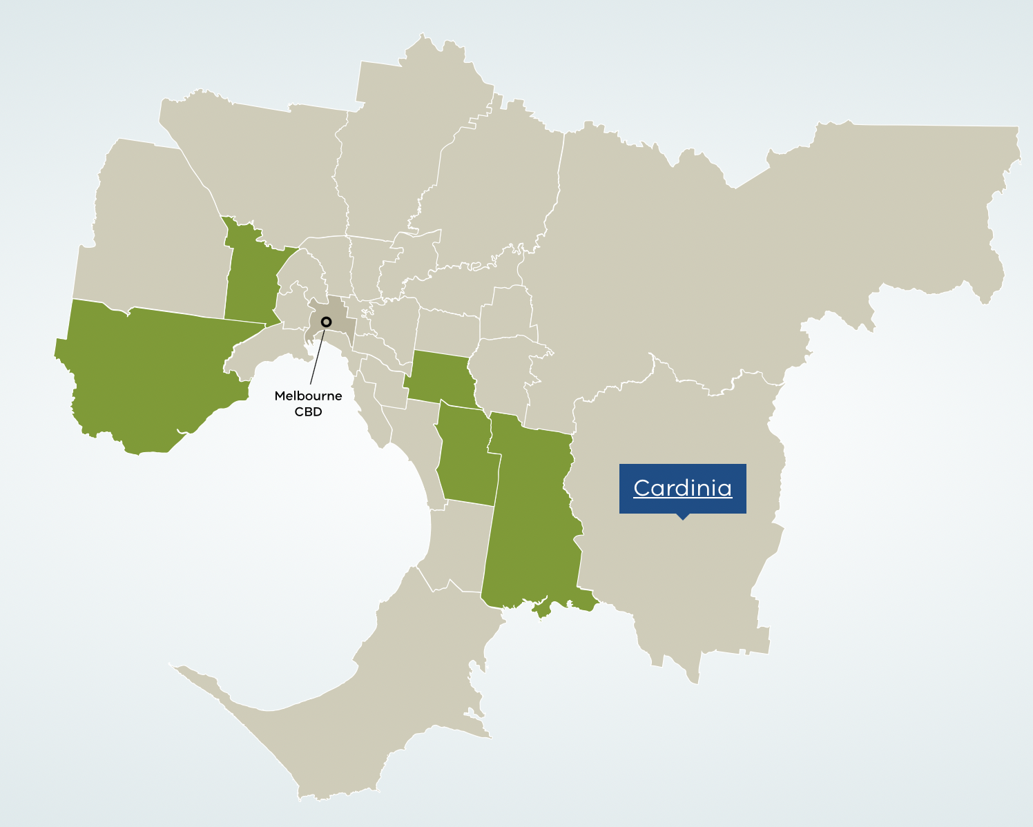
These pictures belows show is the popular regions for Melbourne’s multiples community, and all the resources from liveinmelbourne below
English(28%)
American and British
Australian(26%)
Irish(9.7%)

Chinese(8.5%)
Scottish(7.8%)

Italian(7.1%)
India(4.7%)
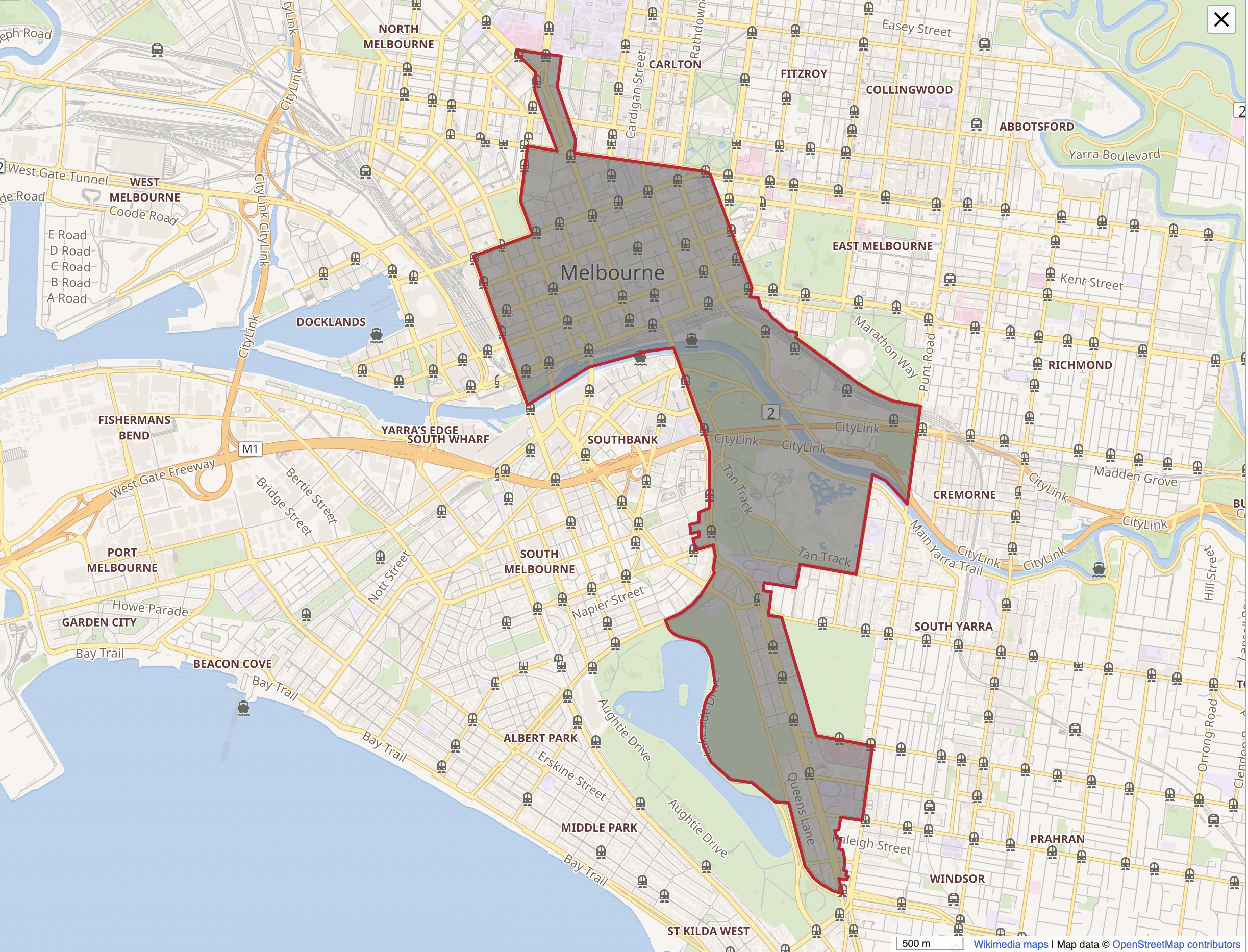
CBD
The Melbourne central business district (also known colloquially as simply “The City” or “The CBD”[3]) is the city centre and main urban area of the city of Melbourne, Victoria, Australia, centred on the Hoddle Grid, the oldest part of the city laid out in 1837, and includes its fringes
Demographics
According to the 2016 census, the populations of the CBD ((the Level 2 statistical area of Melbourne)) 37,321 residents, about half of which were overseas students.
- 4.3% were born in Australia
- 24.9% were born in China
- Malaysia 8.3%
- India 6.2%
- Indonesia 4.5%
- South Korea 4.0%
Over 2010-2017,
-
Many sometimes very tall towers of small one and two bedroom apartments and studio-style student housing (with no carparks) have been built, greatly increasing the resident population of the CBD, including students.
-
Many older buildings have been converted to loft-style apartments, and there are some older apartment buildings with larger more spacious units, with a relatively small amount of luxury housing.
Transport
The Melbourne central business district is the transport hub of the city.
North Melbourne, Victoria
North Melbourne is an inner suburb of Melbourne, Australia, 3 km north-west of Melbourne’s Central Business District. Its local government area is the City of Melbourne. At the 2016 Census, North Melbourne had a population of 14,940.

Boundary
It is bounded by the CityLink freeway to the west, Victoria Street to the south, O’Connell and Peel Streets to the east and Flemington Road to the north
Status
Working class area
Some middle class pockets
The main shopping strip of Errol Street is located around the old North Melbourne Town Hall.
Today it continues to undergo gentrification, noted for its Victorian architecture, cosmopolitan demographic, commercial and older industrial areas.
Demographics(Data below source from year 2016)
Real estate is above the Melbourne median and the suburb remains an overwhelmingly middle-class community, weekly household income was $1236 lower than the national median $1438 (2016).
- Strong migrant mix
- Australia 41.7%
- China 13.5%
- Malaysia 2.9%
- Vietnam 2.4%
- England 2.3%
- New Zealand 2.2%
- Popular destination for low income families for decades
- refugees from (Somalia, Eritrea)
- live around the government-owned housing estates near the
Melrose Streetarea, on the suburb’s fringe
- live around the government-owned housing estates near the
- refugees from (Somalia, Eritrea)
Age
- Younger than most other areas, median age was 28(national median age of 38)
- Children aged under 15 years made up 10.5%
- Aged 65 over made up just 7.1% of the population
Religion
Most common was “No Religion” and accounted for 46.6%
Transport
Major roads include Flemington Road, Elizabeth Street and Victoria Street
- Two railway stations
- Flemington Bridge
- Macaulay
- Tram routes
- No.57: West Maribyrnong - Flinders Street station
- No.58: West Coburg - Toorak
- No.59: Airport West - Flinders Street station
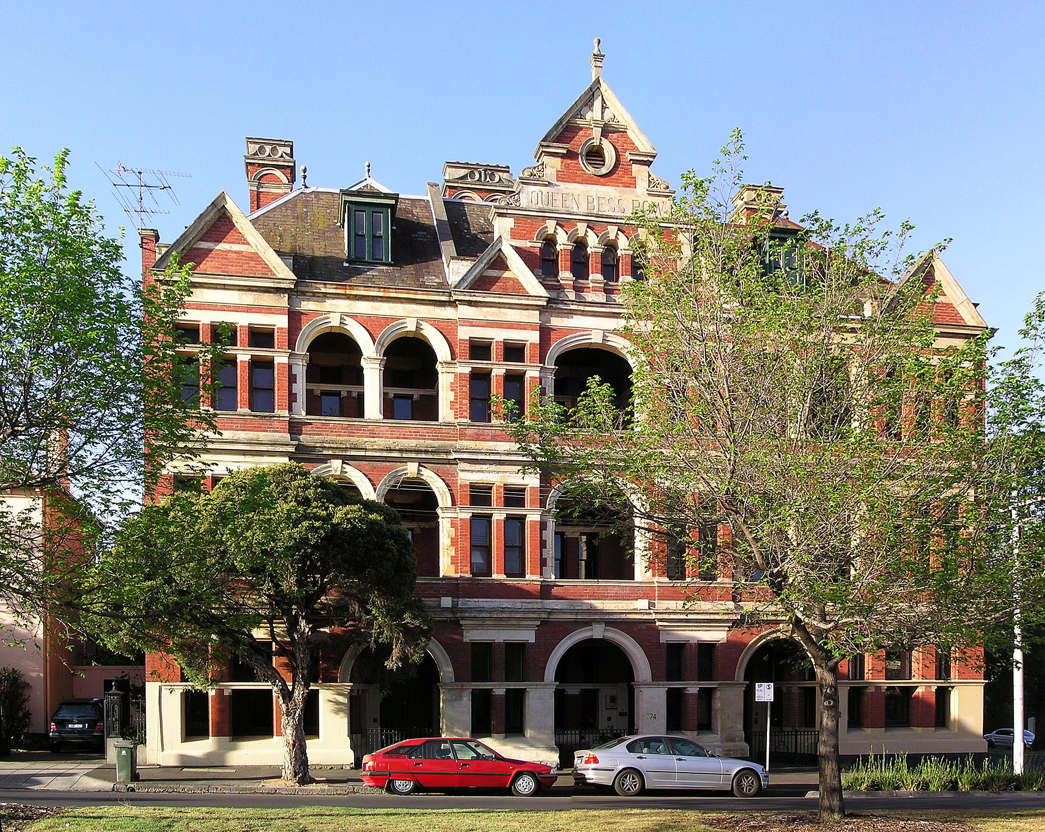
South Melbourne, Victoria
South Melbourne is an inner suburb of Melbourne, Australia, 3 km south of Melbourne’s Central Business District (CBD). It is in the local government area of the City of Port Phillip. At the 2016 census, South Melbourne had a population of 10,920.

Boundary
Complex
Status
One of Melbourne’s oldest suburban areas, notable for its well preserved Victorian era streetscapes.
Demographics(Data below source from year 2016)
Population
- Australia 55.5%
- England 4.8%
- China 3.0%
- New Zealand 2.8%
- India 1.5%
- Malaysia 1.4%
Religion
Most common was “No Religion 40.7%” and “Catholic 17.3%”
Transport
Tram routes
- No.1, No.12, No.58, No.96
- No.112, No.8-City of Port Phillip to City of Stonnington
West Melbourne, Victoria
West Melbourne is an inner suburb of Melbourne, Australia, 2 km north-west of and adjacent to Melbourne's Central Business District. Its local government area is the City of Melbourne. At the 2016 census, West Melbourne had a population of 5,515.

Boundary
It’s bounded by Victoria Street and the Sunbury/Werribee railway line in the north, Footscray Road, the Moonee Ponds Creek; and by La Trobe Street in the south.
Peel Street and the Flagstaff Gardens help form the eastern boundary.
The western boundary defined by the Maribyrnong River and Coode Island, a locality of West Melbourne.
Status
It’s the home to Victoria's largest toxic chemical storage facility.
Being originally largely an industrial area, a significant portion of West Melbourne is occupied by the Port of Melbourne, the Dynon Railway Yards and the Melbourne Markets.
These include the:
- Wholesale Fruit
- Vegetable
- Fish Markets
- National Flower Centre
It also contains an increasing number of residential and commercial properties, consisting of a mixture of Victorian single and double storey terrace houses and converted warehouses at the north-west corner of the Melbourne CBD.
Demographics(Data source from 2016 Census)
There were 5515 in West Melbourne,
- Australia 42.3%
- China 7.4%
- India 4.9%
- South Korea 4.5%
- Malaysia 3.7%
- New Zealand 2.6%
Religion
Most common response for religion was No Religion at 44.8%.
Transport
North Melbourne railway station is actually located in West Melbourne, opposite the Railway Hotel on
Ireland Street.
- Railway
- 401 North Melbourne - University of Melbourne via Royal Melbourne Hospital(Monday to Friday)
- Bus
- 200 bus between Sunshine and Gardenvale passes along Dudley St.
- Tram routes
- No.57(Victoria Street): West Maribyrnong - Flinders St
- No.58(Peel/William Street): Toorak - West Coburg
- No.35(La Trobe Street): City Circle - no.30 St Vincent’s plaza - Docklands lines
East Melbourne, Victoria
East Melbourne is an inner suburb of Melbourne, Australia, 2 km east of Melbourne’s central business district. Its local government area is the City of Melbourne.
Boundary
East Melbourne is a small area of inner Melbourne, located between Richmond and the Melbourne Central Business District, it is bounded by Spring Street, Victoria Parade, Punt road/Hoddle Street and Brunton Avenue.
Status
Demographics(Data source from 2016 Census)
East Melbourne had a population of 4,964,
- Australia 62.8%
- England 4.2%
- New Zealand 3.0%
Religion
The most common responses for religion were No Religion 42.8% and Catholic 18.3%.
Transport
East Melbourne is served by major tramlines on Wellington Parade and Victoria Parade, both connecting with the CBD in the western edge of the suburb.
- Tramlines
Wellington ParadeVictoria Parade
- Rail
- Parliament underground station(
Spring Street, part of the City Loop that runs underneath Melbourne) - Jolimont: on the
HursbridgeandMernda lines
- Parliament underground station(
All the pictures are source from the Wikipedia and the link list on below.
Reference list
- https://en.wikipedia.org/wiki/Port_Phillip
- https://en.wikipedia.org/wiki/Yarra_Valley
- https://en.wikipedia.org/wiki/Mornington_Peninsula
- https://en.wikipedia.org/wiki/Melbourne_central_business_district
- https://en.wikipedia.org/wiki/North_Melbourne,_Victoria
- https://en.wikipedia.org/wiki/South_Melbourne,_Victoria
- https://en.wikipedia.org/wiki/West_Melbourne,_Victoria
- https://en.wikipedia.org/wiki/East_Melbourne,_Victoria
- https://liveinmelbourne.vic.gov.au/discover/multicultural-communities